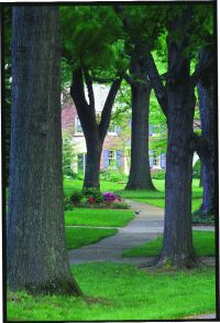
 A winding, tree-lined sidewalk in the Norbourne Estates neighborhood. |
With that in mind, we at Louisville Magazine set out to take a fresh look at ways to map out our new city’s residential areas. We then wanted to compile statistics for these larger “neighborhoods” in order to get some snapshots of the places where we live.
We started with four goals in mind: 1) that our residential zones respect, to the extent possible, traditional neighborhood boundaries and place names; 2) that each zone contain residential areas that have relatively similar demographic and socio-economic characteristics; 3) that the sector boundaries match U.S. Census boundaries, so we could use information gathered in the 2000 census to give a statistical over-view of each zone; and 4) that the neighborhood groupings be kept to a manage- able number, so as not to drown us (or our readers) in data.
It didn’t take us long to realize that we were in over our heads, so we sought — and fortunately, received — the help of some experts, most notably two data whizzes at the University of Louisville’s Urban Studies Institute: senior researcher and Kentucky state demographer Michael Price and research associate Martye Scobee, whose deep knowledge of the city and of how to match census data with geography made this project possible.
The result of our quest and the two researchers’ geo-coding wizardry is the map and charts on pages 32 to 35.
 Meticulously maintained homes and hedges in Germantown. |
It’s this patchwork of numbers, ongoing history and involved residents that truly makes Louisville a city of neighborhoods.